The forests of Papua New Guinea form the eastern half of the third largest continuous area of tropical
forest left in the World. These forests sustain PNG’s largely rural population, provide an important safety
net when crops fail, in times of economic crisis or conflict, and when natural disasters strike. They also
play a role in regulating global climate, store a substantial amount of atmospheric carbon, purify water,
maintain the health of fish stocks, mangroves and estuaries, as well as preserving soil stability and
fertility. In recent decades, however, there has been an expansion of industrial logging, as well as
clearing of natural forests for agriculture. These processes threaten the future of PNG’s forests and the
services they provide.
In an era of global warming and rapid ecosystem changes, understanding what is happening to PNG’s forests
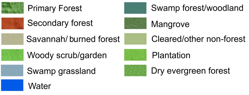
is critically important. The PNG Forest Observatory is an interactive website designed to show the extent of
PNG’s forests and the locations where clearing and logging have occurred between 2002 and 2014. For the
first time, a detailed vegetation map of PNG for 2014, created for the Observatory is available on the
website. In addition, the areas of forest cleared since 2002 are mapped, as are the areas that have been
logged.
The PNG Forest Observatory website provides a way for the people of PNG and beyond to see what is happening
in PNG’s forests.
Contact: support@pngrsc.com